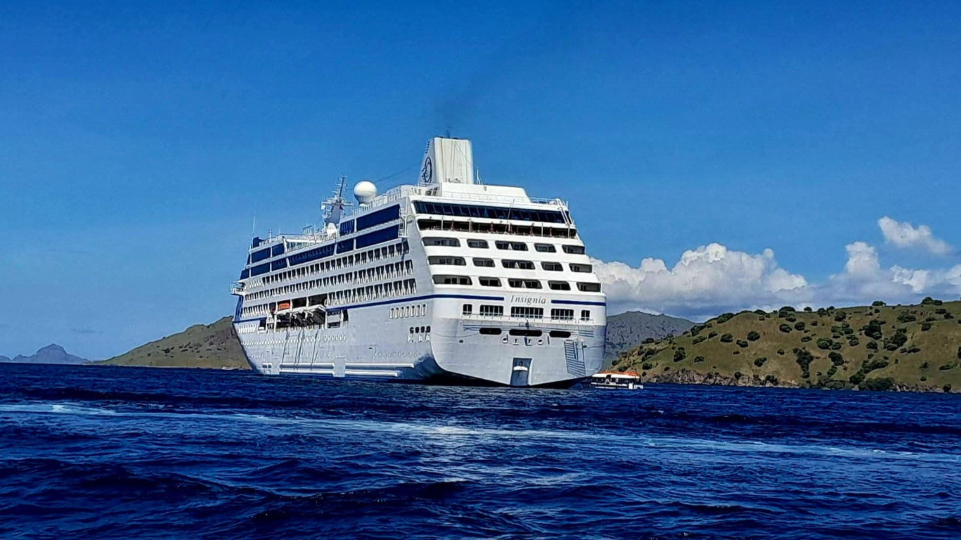
Komodo National Park is not only famous for its terrestrial wildlife like the Komodo dragon but also ranks among the world’s most spectacular scuba diving destinations. Located in the heart of the Coral Triangle, its waters are rich in marine biodiversity, vibrant coral reefs, and dramatic underwater topography — making it a must-visit for diving enthusiasts from around the globe.
🌊 What Is the Dive Map of Komodo National Park?
Он dive map of Komodo National Park shows the locations of the best dive sites throughout the park. It is an essential tool for divers and dive operators, helping them plan dives safely and effectively. These maps typically show:
- Key dive site locations,
- Depth levels and underwater terrain,
- Areas with strong currents or drift dive conditions,
- Seasonal spots for specific marine encounters.
Although the official map from Balai Taman Nasional Komodo does not list site details publicly online, the park’s dive map highlights many world-renowned underwater locations popular among divers.
🗺️ Major Diving Regions in Komodo
Национальный парк Комодо dive sites are often grouped into three major regions:
🔹 North Komodo
This area is known for its stronger currents and thrilling drift dives. Sites here are ideal for experienced divers seeking encounters with large pelagics like reef sharks and giant trevallies. Typical sites include Castle Rock and Crystal Rock.
🔹 Central Komodo
Home to some of the most iconic dive sites in the park, such as Batu Bolong, Manta Point, and Siaba Besar. This region offers rich coral walls, abundant marine life, and a mix of conditions suitable for both intermediate and experienced divers.
🔹 South Komodo
Known for its cooler water and unique seabed structures, the southern area includes dive sites like Three Sisters and other steep rock formations that attract macro life and pelagic species.
🐠 Highlighted Dive Sites You’ll Find on the Map
Here are a few of the top dive sites commonly featured on Komodo’s dive maps and visited by divers:
🔹 Batu Bolong
This is one of the most celebrated dive sites in the park. The coral-covered pinnacle rises from deep water and draws a diverse array of fish, reef sharks, and other marine species.
🔹 Manta Point (Makassar Reef)
A shallow reef where manta rays gather, especially during strong currents. This site is famous for sightings of majestic manta rays as they glide around the cleaning stations.
🔹 Castle Rock
A dramatic underwater seamount with strong currents and abundant marine life, including reef sharks, trevallies, and large schools of fish.
🔹 Siaba Besar
Known for calmer conditions and rich coral gardens, ideal for divers looking for turtle sightings and colorful reef scenes.
🔹 Tatawa Besar
A vibrant drift dive site with soft corals and a variety of reef fish, popular among divers of intermediate experience.
🔹 Sebayur & Police Corner
Sites closer to Labuan Bajo featuring varied topography, abundant fish life, and underwater photography opportunities.
🤿 Using the Dive Map for Planning
A dive map in Komodo isn’t just a navigation tool — it’s a key planning resource for:
✔ Choosing dive sites according to skill and interest (e.g., drift dives vs. gentle coral gardens),
✔ Timing dives according to tidal currents and weather conditions,
✔ Staying safe by knowing where currents are strongest and which sites are best during slack tide,
✔ Maximizing chances of seeing certain marine life like mantas, turtles, and sharks.
Many dive operators recommend saving the dive map offline and checking tide charts before heading out, as signal coverage can be limited while boating inside the park.
“Ready for an unforgettable journey? Choose your perfect tour package and start your Komodo adventure, Связаться с нами