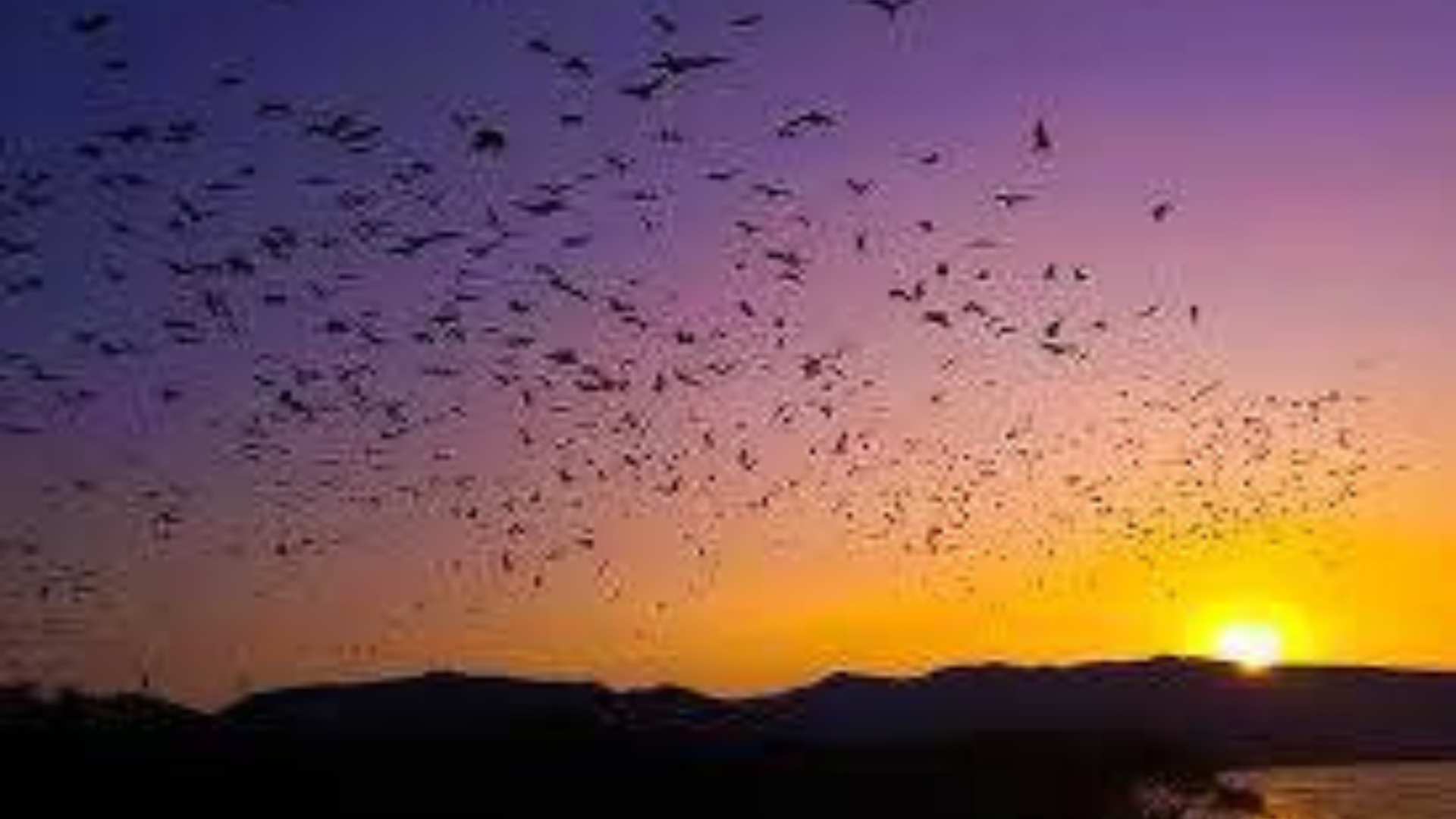
Komodo National Park is celebrated not only for its iconic Komodo dragons and terrestrial biodiversity but also for its complex underwater landscapes and steep terrestrial slopes that shape the park’s ecosystems. The Bathymetry and Slope Map of Komodo National Park provides a detailed visualization of seafloor depth (bathymetry) and submerged slopes, as well as land surface gradients, helping scientists, conservation managers, and tourism planners understand how terrain influences ecological processes and human activities both above and below water.
🐚 What Is Bathymetry?
Bathymetry refers to the measurement of the depth of the ocean floor — similar to topographic maps on land but underwater. Mapping bathymetry reveals the shape and structure of the seafloor, including deep basins, underwater ridges, slopes, and flat plains.
In the waters around Komodo National Park, bathymetric surveys have shown that seafloor depth can vary widely, from relatively shallow reef areas to deeper zones exceeding 300 meters in some offshore locations. These variations influence water circulation, nutrient flows, and the distribution of marine habitats such as coral reefs and seagrass beds.
📊 Underwater Slopes and Marine Topography
Itu slope component of the map describes how steeply the seafloor or land surface changes in elevation over distance — an important factor in understanding marine currents, sediment movement, and habitat formation:
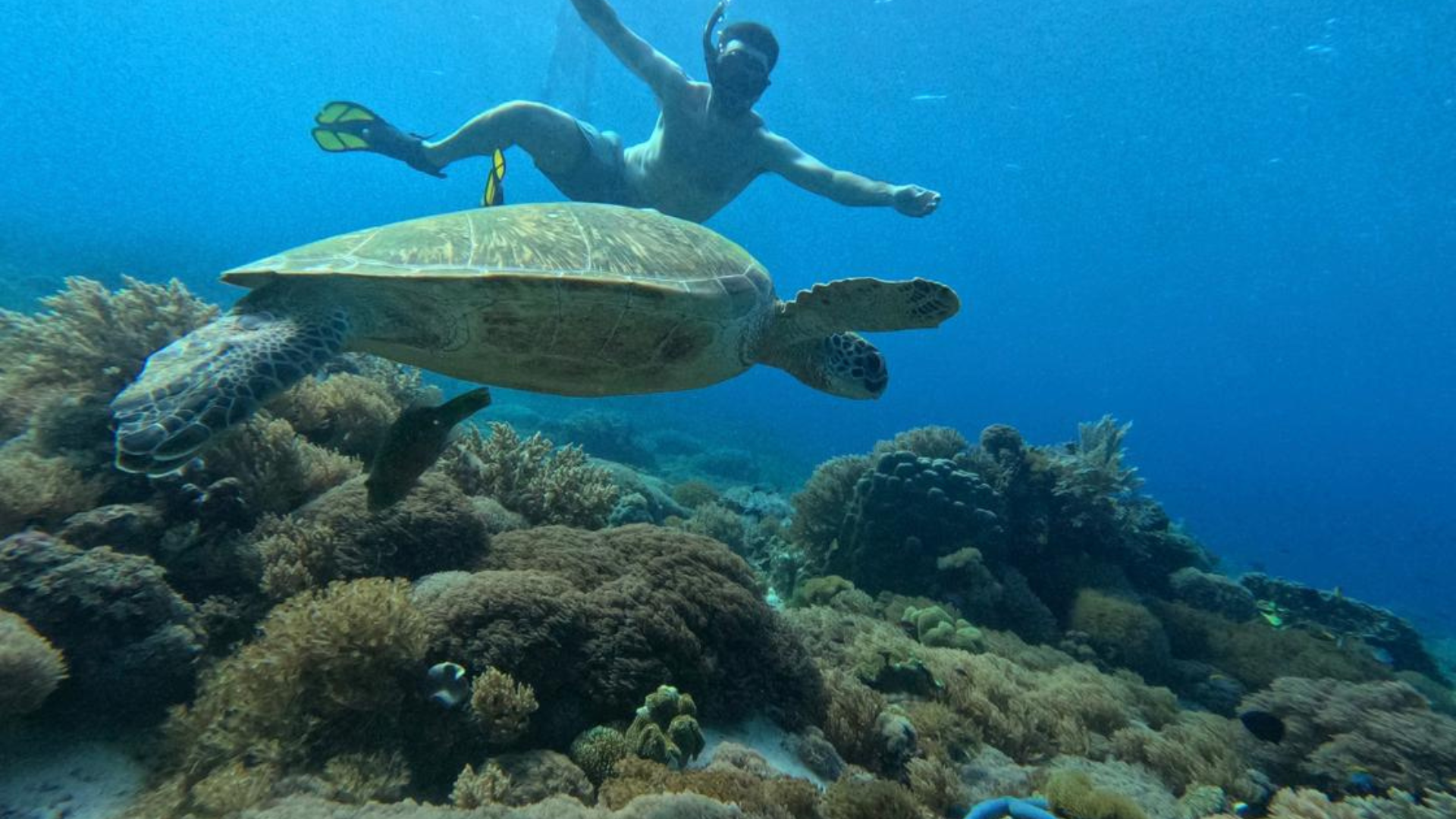
- Gentle slopes near shorelines often support rich coral gardens and seagrass meadows, providing habitat for a diversity of fish, sea turtles, and invertebrates.
- Steep underwater slopes and drop‑offs create dramatic walls and channels that attract pelagic species and define some of Komodo’s most famed dive sites.
- Deep basins and valleys influence how water flows through the Sape Strait and surrounding seas, shaping local oceanographic conditions and supporting nutrient upwellings.
These features are also used in calculating carrying capacities for aquatic tourism, such as diving and snorkeling routes, by linking seafloor depth and slope with distribution of dive site topography.
🏔️ Terrestrial Slopes and Land Topography
Outside the marine environment, Taman Nasional Komodo land topography is rugged and varied, ranging from coastal plains to steep hills and volcanic slopes. The islands — including Komodo, Rinca, dan Padar — are volcanic in origin, rising from sea level to heights approaching 700+ meters, with slopes ranging widely from gentle gradients along shorelines to steep ridges inland.
These terrestrial slopes influence:
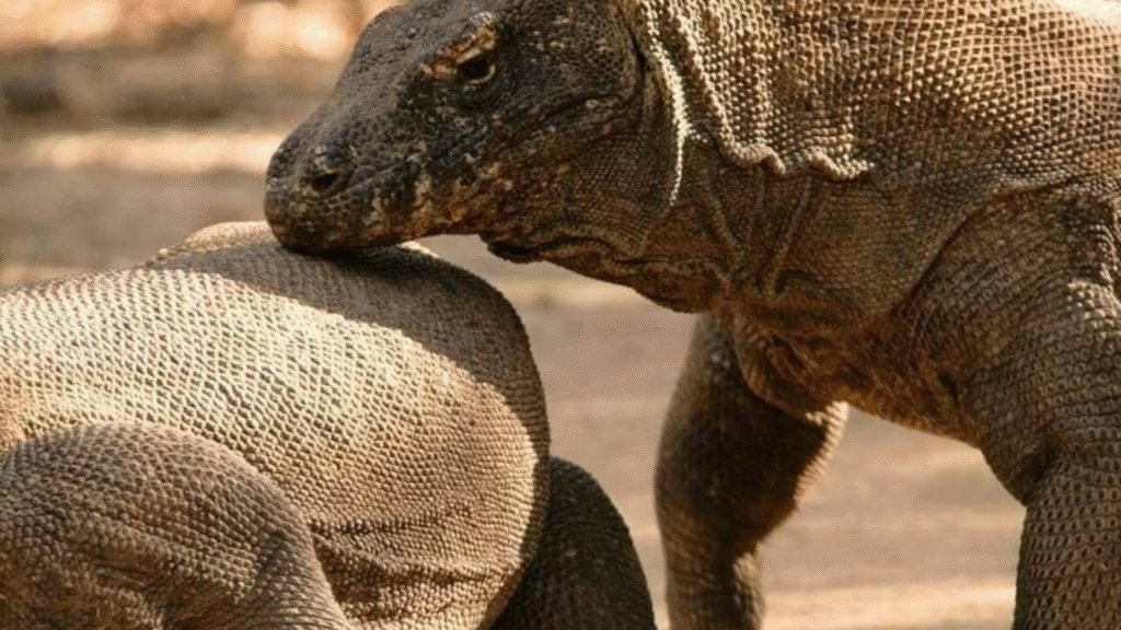
- Habitat distribution for terrestrial wildlife such as Timor deer, macaques, and Naga Komodo.
- Trail design and accessibility for trekking routes and tourism infrastructure.
- Water runoff and erosion patterns, especially during seasonal rains.
🌍 Why the Map Is Importan
Itu Bathymetry and Slope Map serves several key functions:
🔍 Scientific Research:
Researchers use seafloor depth and slope data to model ocean currents, habitat distribution, and geological history. This is important for understanding marine biodiversity patterns and how physical features shape ecosystems.
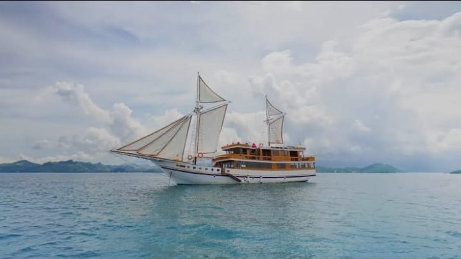
⚓ Marine & Tourism Planning:
Dive operators and tourism planners rely on bathymetric maps to identify safe and compelling dive sites, predict current strength, and plan boat routes that avoid hazards.
🛡️ Conservation Management:
Deep bays, steep walls, and sheltered slopes often host sensitive marine assemblages. Mapping these features helps inform zoning decisions, such as marine protection areas and sustainable visitor limits.
🌿 Integrated Ecosystem Understanding:
By combining bathymetry with terrestrial slope data, conservationists can view the park as a connected ecological unit — from the rugged island ridges to the depths of the seafloor — appreciating how physical terrains influence species distributions on land and underwater.
🏁 Kesimpulan
Itu Bathymetry and Slope Map of Komodo National Park provides a vital window into the park’s physical foundations — both above and below sea level. By showing how depth and slope shape the landscape and seascape, this map supports better stewardship of the park’s remarkable natural resources, enhances scientific understanding, and enriches experiences for visitors exploring one of the world’s most diverse marine and terrestrial environments
Tim kami siap membantu Anda menciptakan kenangan perjalanan terbaik — lihat paket wisata kami dan pesan petualangan Anda., Hubungi kami