
Bathymetry and Slope Map of Komodo National Park: Exploring Underwater and Terrestrial Terrain

Komodo National Park is celebrated not only for its iconic Komodo dragons and terrestrial biodiversity but also for its complex underwater landscapes and steep terrestrial slopes that shape the park’s ecosystems. The Bathymetry and Slope Map of Komodo National Park provides a detailed visualization of seafloor depth (bathymetry) and submerged slopes, as well as land […]
Ecosystem Map of Komodo National Park: A Mosaic of Terrestrial and Marine Life

Komodo National Park, located between the islands of Flores and Sumbawa in eastern Indonesia, is a globally significant conservation area that harbors an extraordinary diversity of ecosystems both on land and at sea. An Ecosystem Map of Komodo National Park provides a visual representation of how these natural environments are distributed across the park’s landscape, […]
Distribution Map of Kalong (Flying Fox Bats) in Komodo National Park

Komodo National Park, widely known for its legendary Komodo dragon, hosts a remarkable diversity of wildlife — including flying fox bats, locally known as kalong, that play important ecological roles within the archipelago’s ecosystems. The Distribution Map of Kalong in Komodo National Park illustrates the key habitats and movement areas of these nocturnal mammals, particularly […]
Prey Species Distribution Map of the Komodo Dragon in Komodo National Park

The Prey Species Distribution Map of the Komodo Dragon (Varanus komodoensis) provides an important overview of the locations where key prey animals are found within Komodo National Park. This thematic map helps researchers, conservation managers, and ecotourism planners better understand predator–prey interactions in different parts of the park — including Loh Tongker, Loh Wau, Gili […]
Monitoring Bats at Komodo National Park: Insights into Nocturnal Wildlife Conservation
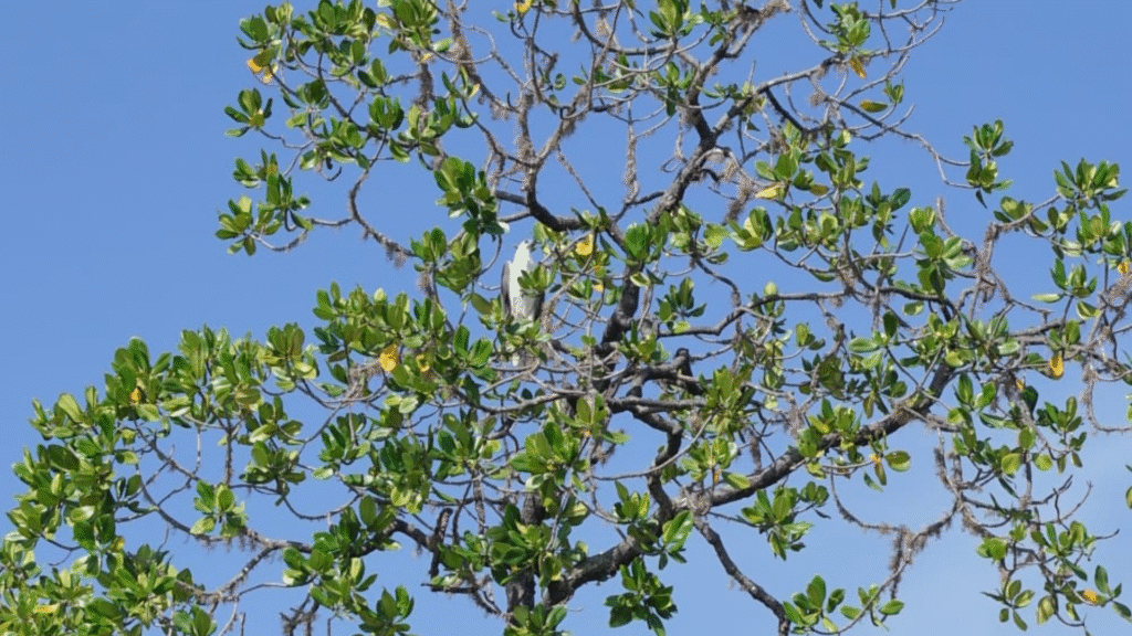
Komodo National Park is globally known for its iconic Komodo dragon, but the park’s biodiversity extends far beyond this flagship species. Among the fascinating wildlife that inhabit the park’s ecosystems are bats (Chiroptera) — nocturnal mammals that play vital roles in pollination, seed dispersal, and insect control across the islands. Monitoring their populations and behavior […]
DDDT Document of Komodo National Park: Foundation for Visitor Capacity and Sustainable Management

The DDDT document of Komodo National Park is an important planning reference that supports the management of visitor flow and sustainable tourism in one of Indonesia’s most iconic conservation areas. It assesses the carrying capacity and visitor capacity of key trekking routes and popular visitor sites to strike a balance between ecological protection and tourism […]
Ecology, Population, Reproduction, and Spatial Dynamics of Komodo Dragons in Komodo National Park

The Final Report CRES with ISBN is a comprehensive scientific publication summarizing key research findings on the ecology, population dynamics, reproductive biology, and spatial behavior of the Komodo dragon (Varanus komodoensis) in Komodo National Park, Indonesia. This report covers results from field research conducted over several years as part of a long‑term study aimed at […]
Zoning Map of Komodo National Park: Balancing Conservation and Sustainable Use

The Zoning Map of Komodo National Park shows how this globally significant conservation area is strategically divided into management zones to protect its unique biodiversity — including the Komodo dragon — while allowing sustainable use such as ecotourism and traditional community activities. This zoning system covers both terrestrial and marine environments within the park. 🗺️ […]
Land Cover Map of Komodo National Park, Understanding the Park’s Landscape and Vegetation

Komodo National Park is one of Indonesia’s most important conservation areas, known not only as the natural habitat of the Komodo dragon (Varanus komodoensis) but also for its unique landscapes and vegetation types. One of the essential tools for managing and planning this area is the Land Cover Map, which depicts the distribution of different […]
Land Cover Map of Komodo National Park

The Land Cover Map of Komodo National Park is one of the key spatial mapping tools provided on the official Komodo National Park mapping portal. It displays the distribution of different land cover types within the protected area, helping park managers understand the variety of ecosystems present in both terrestrial and marine parts of the […]