Komodo National Park is one of Indonesia’s most important conservation areas, known not only as the natural habitat of the Komodo dragon (Varanus komodoensis) but also for its unique landscapes and vegetation types. One of the essential tools for managing and planning this area is the Land Cover Map, which depicts the distribution of different land surface and vegetation classes within the national park.
📍 What Is a Land Cover Map?
A land cover map is a thematic map that shows the distribution of various vegetation and land use types within a given area. For Komodo National Park, this map illustrates the spread of ecosystems such as savanna, forests, mangroves, and other vegetation that support endemic species and wildlife.
These maps are typically created using satellite imagery, aerial photographs, and field surveys. They are used for:
- Ecosystem analysis and monitoring changes over time,
- Conservation zoning and ecotourism planning,
- Managing ecological threats such as erosion and wildfires,
- Guiding scientific research on flora, fauna, and habitats.
🌿 Main Land Cover Types in Komodo National Park
While the specific map content from the original link isn’t directly displayed, official information from the Komodo National Park management and ecological studies indicate several major vegetation categories in the area
✔️ Savanna and Grasslands
Savanna and open grassland landscapes dominate much of the park, especially on Komodo and Rinca islands, due to the region’s tropical dry climate. These areas are characterized by grasses and scattered trees, forming key habitats for the Komodo dragon and many other species.
✔️ Tropical Deciduous Forests
In valleys and slightly wetter microclimates, tropical deciduous forests occur with a mix of tree species providing shade and food resources for wildlife.
✔️ Mangrove Forests
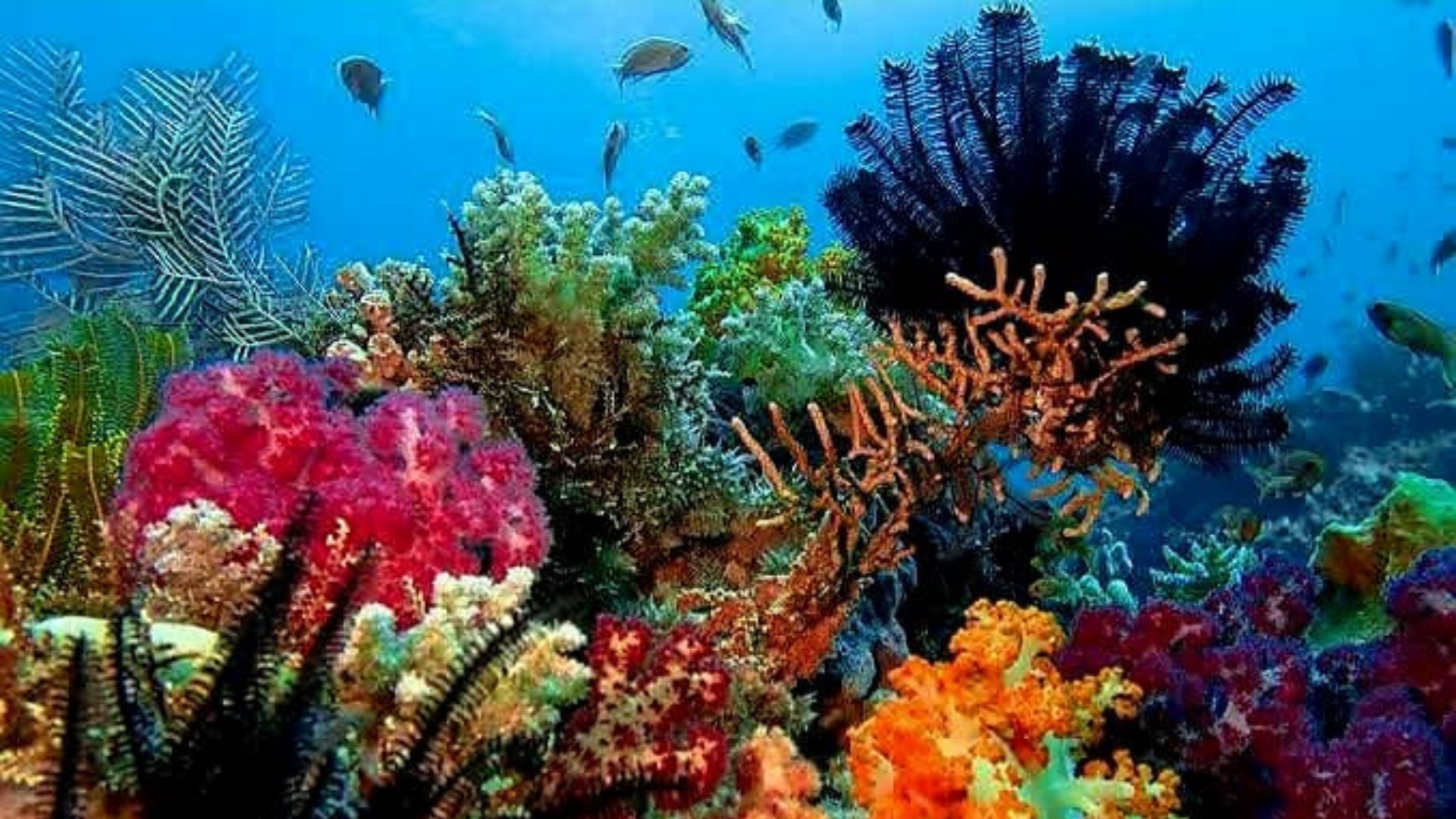
Along sheltered coastlines and in tidal zones, mangrove forests help stabilize the shoreline, support marine life, and act as nurseries for fish and crustaceans.
🧭 Why Land Cover Maps Matter for Conservation
Land cover maps are more than just visual representations—they are management and decision-making tools used by park authorities to:
📌 Plan conservation and tourism zones efficiently,
📌 Monitor environmental changes due to climate variability or human impacts,
📌 Support scientific studies and wildlife monitoring that require precise habitat information.
With this map, conservation efforts in Komodo National Park become data-driven and more effective, helping communicate the park’s real ecological condition to the public and policymakers.
🏞 Conclusion
The Land Cover Map of Komodo National Park provides a detailed overview of vegetation types and land use within one of Indonesia’s most iconic conservation areas. While the original link did not display the map itself due to access limitations, official park sources and ecological research show that the park is dominated by savanna and grasslands, with pockets of tropical forests and mangrove vegetation supporting high biodiversity and the habitat needs of the Komodo dragon
“Experience the adventure of a lifetime — book your Komodo National Park tour package now at komodopadartour.com